blah blah blah
Weeks Woods
Length: 1.8 miles out-and-back with loopDifficulty (click for info): Easy
Elevation Gain: 250 feet
Rating (click for info): 5/10
Driving Directions:
Trailhead and parking area are on Rt. 11A in Gilford, NH. There is no space to park at the trailhead, so visitors should park across the street at the Gilford town offices. 2.4 miles northeast of the interchange with Rt. 3/11 (the Laconia Bypass) and 0.5 miles southwest of the junction with Rt. 11B, turn southeast into the entrance to the town office complex (Valley Road), and immediately turn left into a spacious lot adjacent to the DPW building. This is a convenient place to cross the street to the trailhead. Click here for a Google map.
Trail map
About the Hike:
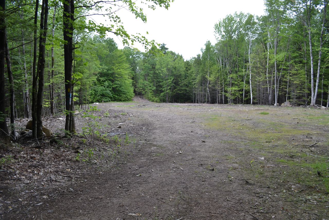
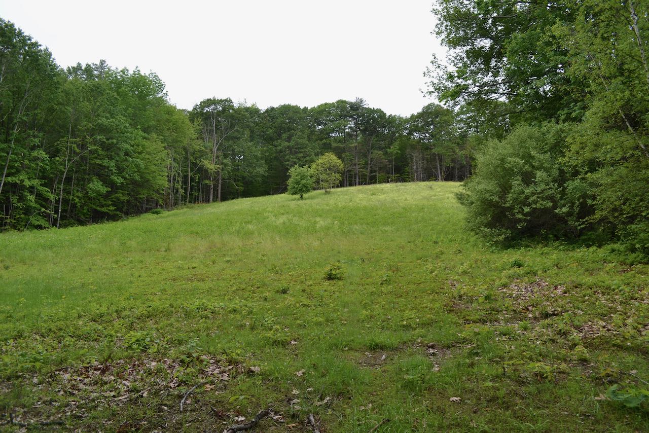
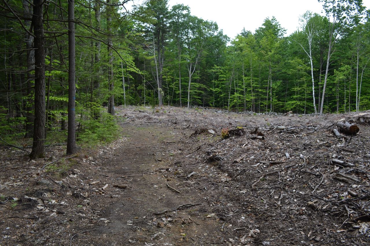
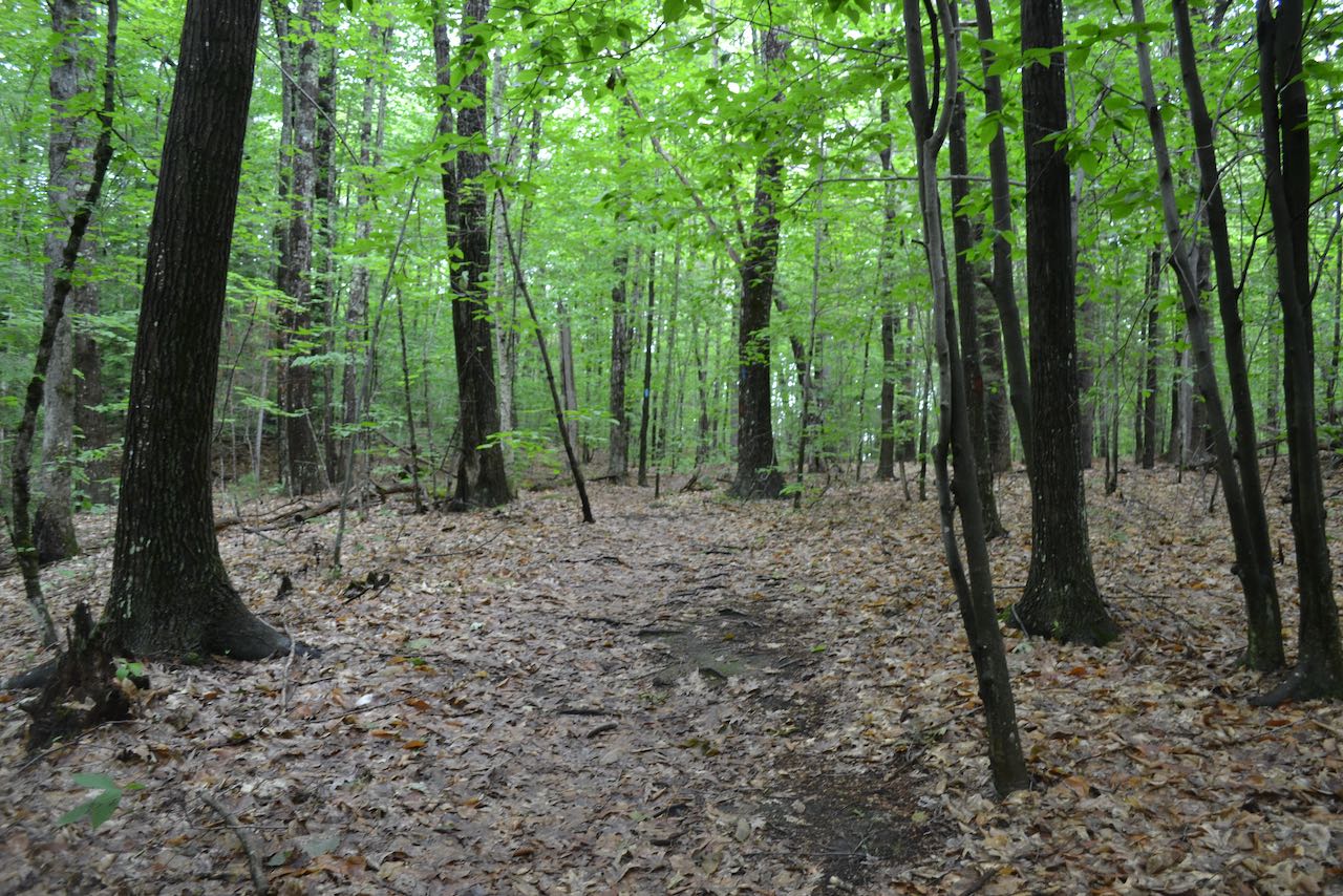
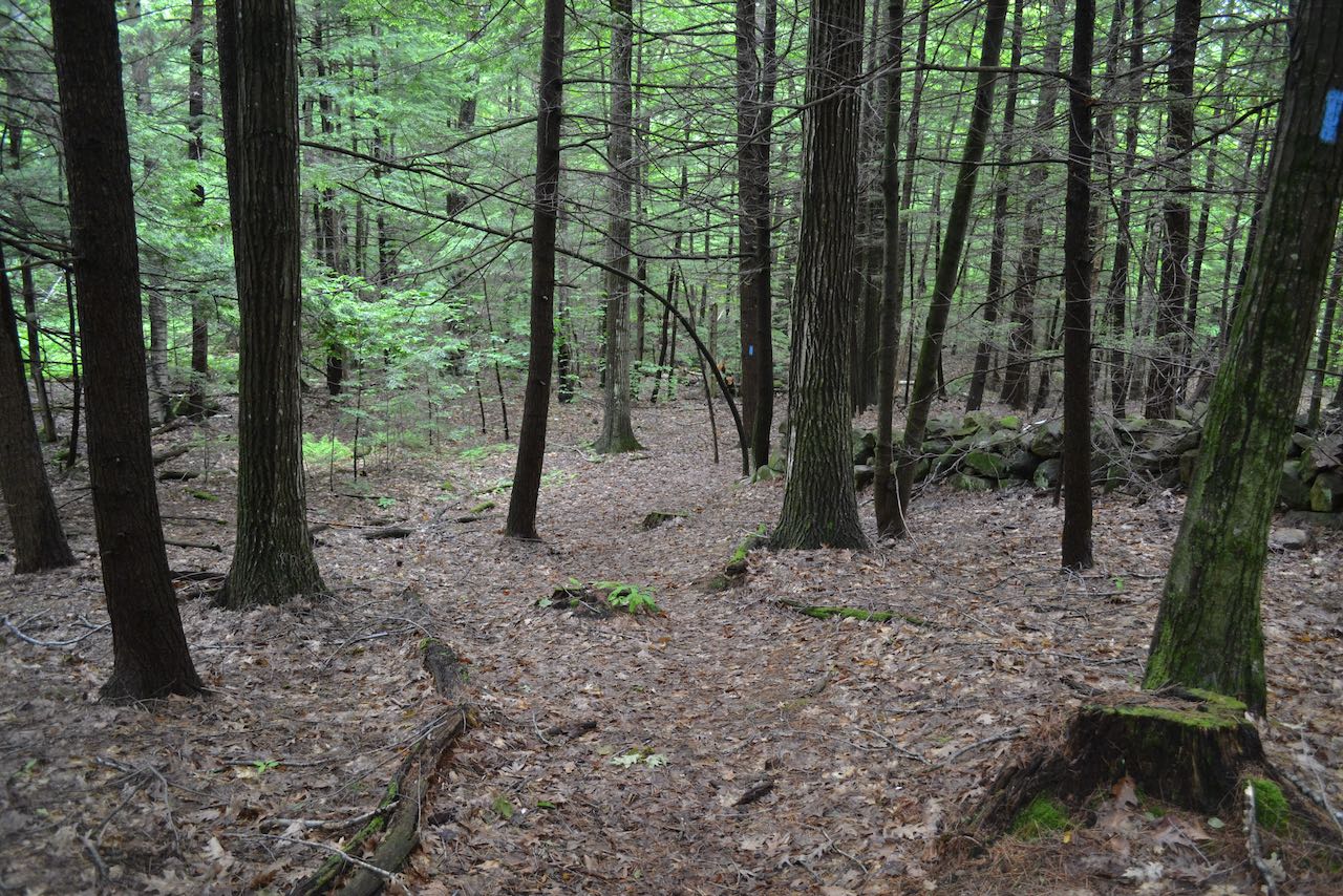
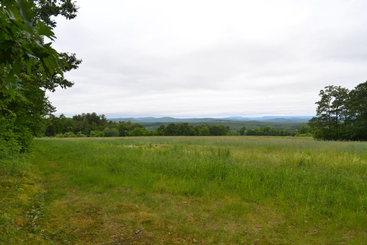
With a long and storied history of many uses, including as farmland and for timber harvesting, the Forest Society's Weeks Woods provides hikers pleasant walking through a variety of forest environments. Its well-kept network of trails and easy access from the center of Gilford make it a local delight. From the parking area at the town offices, cross the road and walk over to the trailhead, where a millstone is set up for display. Walk up the wide yellow-blazed trail, which leads 0.2 miles uphill to arrive at a large clearing, created for a 1989 logging operation and still maintained by the Forest Society for wildlife habitat. Follow the left side of the clearing to a sign marking a trail junction, where the "Lower Loop" trail splits. Turn left and follow the trail, which makes use of a potentially muddy old road, for 0.1 miles to another junction, where a spur trail branches off to the left and leads another 0.1 miles to the base of a large, sloping field. The Forest Society advertises this field for its scenic views, but we would recommend staying away, since you are likely to discover poison ivy and ticks (depending on time of year) by walking up into it. Continue on the main trail for just under 0.2 miles as it leads across the hillside over a small brook and some bog bridges to reach a junction. Turn left onto blue-blazed Upper Loop. This trail winds gradually uphill for a quarter mile, briefly entering and leading along the left edge of a logged clearing. At a sharp right turn in the trail, you approach an open field just to the left. Walk out to the top of the field to take in a nice distant view over the mowed grass. The trail continues flat near the field, then swings right and begins to descend. It avoids another logged area and leads out to a patch cut after about half a mile. Here, the Forest Society has set up a "picture post" where visitors can take photos and submit them to the Forest Society to help document the regrowth of the forest. Follow the right edge of the clearing downhill and back into the woods and rejoin Lower Loop in 0.1 miles. Bear left and follow it as it crosses a small stream and leads back uphill to the logging landing and loop junction after 0.3 miles. Bear left across the clearing to return the way you came.
Printable directions page